Products search
Home
Books
Browse our Books
Order a Book
Jane Austen
Winchester Books Festival
Local Authors
University Book Bundles
Winchester and Hampshire
Search Bookshop.org
Stationery & Gifts
Events
Book Group
Organise an Event
Winchester Books Festival
Schools
Contact
About
Bindery
University
Vacancies
My Account
Orders
Account details
Addresses
Lost password
Select Page
Home
/
Shop
/ Products tagged “Historical maps & atlases”
Historical maps & atlases
Showing all 9 results
Default sorting
Sort by popularity
Sort by latest
Sort by price: low to high
Sort by price: high to low
Football
£
6.99
History of the World in Maps
£
30.00
History of the World Map by Map
£
30.00
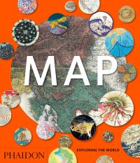
Map
£
24.95
Maps
£
25.00
Terrible maps
£
14.99
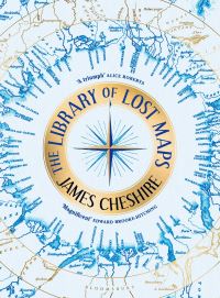
The Library of Lost Maps
£
30.00
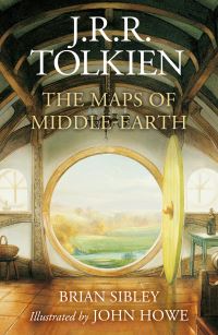
The maps of Middle-earth
£
25.00
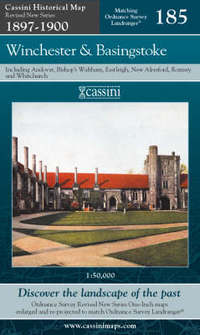
Winchester and Basingstoke
£
9.99
Products search