Products search
Home
Books
Browse our Books
Order a Book
Jane Austen
Winchester Books Festival
Local Authors
University Book Bundles
Winchester and Hampshire
Search Bookshop.org
Stationery & Gifts
Events
Book Group
Organise an Event
Winchester Books Festival
Schools
Contact
About
Bindery
University
Vacancies
My Account
Orders
Account details
Addresses
Lost password
Select Page
Home
/
Shop
/ Products tagged “World atlases / world maps”
World atlases / world maps
Showing all 6 results
Default sorting
Sort by popularity
Sort by latest
Sort by price: low to high
Sort by price: high to low
History of the World in Maps
£
30.00
History of the World Map by Map
£
30.00
South Downs National Park Pocket Map
£
3.99
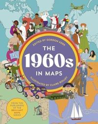
The 1960s in Maps
£
20.00
This Way Up
£
10.99
World atlas of tea
£
30.00
Products search