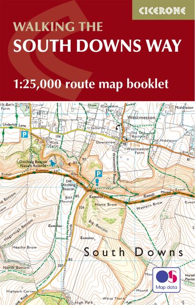
The South Downs Way Map Booklet
Map of the 100 mile (160km) South Downs Way National Trail, between Eastbourne and Winchester. This booklet is included with the Cicerone guidebook to the trail and shows the full route on OS 1:25,000 maps. The trail typically takes a week to walk and is suitable for most levels of ability.
£12.95
In stock
A booklet of all the mapping needed to complete the 158km (100 mile) South Downs Way National Trail. The route crosses the South Downs National Park to link Eastbourne with Winchester and is an ideal option for those new to long-distance walking; it is also suitable for riders.The full route line is shown on 1:25,000 OS mapsThe map booklet can be used to walk (or ride) the trail in either directionSized to easily fit in a jacket pocketThe relevant extract from the OS Explorer map legend is includedAn accompanying Cicerone guidebook - The South Downs Way is also available, which includes a copy of this map booklet.
Additional information
| Weight | 72 g |
|---|---|
| Dimensions | 166 × 106 × 7.5 mm |
| Author | |
| Publisher | Cicerone Press |
| Imprint | Cicerone Press |
| Cover | Paperback |
| Pages | 64 |
| Language | English |
| Edition | 2nd Edition |
| Dewey | |
| Readership | General – Trade / Code: K |